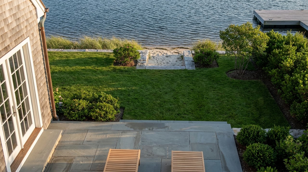
In December 2022, Stephen and Beth McParland asked the Barnstable Conservation Commission for something that sounds routine for a waterfront property on Carriage Road in Osterville: permission to build a permanent pier. The Commission said no, citing harm to shellfish habitat and fishing access. The McParlands sued. In 2025, the Massachusetts Appeals Court sided with them, ruling that the Commission had applied the wrong legal standard and had denied the permit based on a policy that didn't actually exist in its own regulations. The court sent the case back to the Commission for another look.
That should have been the end of a long story. It wasn't. This year's Conservation Commission calendar shows the McParlands back in front of the same board with what the filings call a remand application, now scaled down to a permanent, pile-supported dinghy dock with an end platform and kayak racks. Nearly four years after the first application, the pier that started this fight still hasn't been built.
The McParlands aren't an isolated case of bad luck with one difficult board. The same year the Appeals Court ruled on Carriage Road, it also ruled against the Commission in a second, entirely separate Osterville dispute. JMS Holdings LLC had asked to convert part of an existing walkway, connected to a pier on a waterfront property in the village, from seasonal to permanent construction. The Commission approved the walkway but then attached a condition limiting how a different structure, an existing seasonal float tied to the same dock, could be used. The Appeals Court found the Commission had exceeded its authority by using an unrelated permit application as a lever to impose new restrictions on a structure that wasn't part of the request, and ordered the permit issued without those conditions.
Two unconnected Osterville waterfront properties. Two rulings the same year. Both against the same Commission. Both for the same underlying reason: the board tried to control more than the law actually gives it authority to control, and got overruled for it.
What a listing photo of a dock doesn't show you
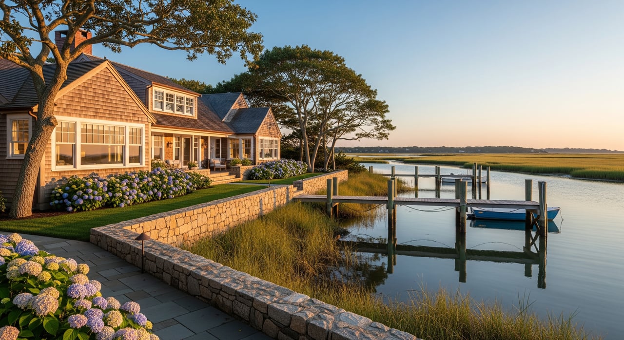
When an Osterville listing advertises a private pier or deep-water access, it's describing a physical structure standing in the water today. What it isn't describing is the permit history behind that structure, which is a live legal record that can be reopened, appealed, or rewritten long after the house last changed hands. A dock is not conveyed the way a kitchen or a roof is conveyed. It exists because a specific set of conditions was approved for a specific footprint, and any meaningful change to that footprint, or any challenge to how the Commission arrived at its decision, puts the whole structure back into a process that can run for years.
Barnstable's own dock ordinance, Chapter 703 of the town code, makes this explicit. Any substantial alteration or extension of an existing pier or dock requires a fresh Notice of Intent, and the regulation presumes that construction, maintenance, and use of a dock will have an adverse effect on wetland resource values unless the applicant proves otherwise. That presumption sits at the center of the McParland case: the Commission decided the McParlands hadn't rebutted it, the Appeals Court decided the Commission had measured the wrong thing when making that call.
The physical rules matter here too. Town regulations cap dock width at four feet measured pile to pile, limit combined float area to 200 square feet, and require a minimum water depth under the float of either 12 inches or 30 inches at mean low water, depending on whether the site sits in a high-value shellfish habitat. The McParlands' proposed pier ran 81 feet from mean low water, which the court noted complied with the town's separate 100-foot length limit. That number is worth sitting with. On a lot where the shoreline profile only allows so much length before you hit the cap, the permitted footprint of an existing dock often represents the maximum the Commission will ever authorize on that parcel, not a conservative starting point.
Two rulings, one pattern
Case | Osterville property | What was contested | 2025 outcome |
|---|---|---|---|
McParland v. Conservation Commission of Barnstable | 150 Carriage Road | Denial of a permanent pier over shellfish and fishing-access concerns | Appeals Court vacated the denial, ruling the Commission applied the wrong legal standard; case remanded |
JMS Holdings LLC v. Conservation Commission of Barnstable | Waterfront property, Osterville village | Conditions the Commission placed on an existing float, unrelated to the walkway permit being sought | Appeals Court ruled the Commission exceeded its authority; ordered the permit issued without those conditions |
Neither ruling says docks can't be regulated. Both say the Commission got the boundaries of its own authority wrong, on two different Osterville properties, in the same year. If a buyer's due diligence stops at confirming a dock exists and looks sound, it stops before the part of the record that actually determines whether that dock can be maintained, rebuilt, or expanded on the same terms in the future.
The channel that's about to change under some of these docks
There's a second layer to this that has nothing to do with litigation and everything to do with timing. The Town of Barnstable's Department of Public Works has a maintenance dredging project moving through the Conservation Commission and Shellfish Committee right now, covering the West and North Bay channels in Osterville village. The scope calls for mechanical dredging of roughly 37,299 cubic yards of sediment, with construction expected to start in October 2026 and finish before January 31, 2027.
That's not background noise for a village where deep-water access to Nantucket Sound is the reason waterfront prices run as high as they do. A dock permitted years ago against a channel depth that existed then is sitting next to a channel that's about to be reshaped this fall. Buyers evaluating a listing on West Bay or North Bay right now should ask not just what the dock's permitted depth is, but what that depth will look like once this specific dredging project wraps.
The same Commission calendar shows how much of this kind of work is already underway around the village: a proposed 550-foot bulkhead replacement on Windswept Way facing Cotuit Bay, pier reconstruction and extension applications on Eel River Road, and a new non-motorized pier proposal on East Bay Road. None of this is unusual for a place built around boating. It does mean that any given Osterville waterfront parcel sits inside an active, ongoing permitting environment, not a settled one.
What to actually check before you write an offer
- Request the recorded Order of Conditions for any pier, dock, or bulkhead on the property, not just a photo or a verbal description from the listing agent.
- Confirm the structure holds a valid Chapter 91 waterways license and that it was recorded at the Registry of Deeds, since a license tied to the property should transfer with a change of ownership, but only if it was properly recorded in the first place.
- Ask whether the dock's current configuration matches its permitted plans. Additions or float relocations made after the fact can trigger a new Notice of Intent requirement even if the dock has been in place for years.
- Check the Commission's current and recent hearing agendas for the parcel and its abutters. An open or continued application nearby, like the ones currently moving through on Windswept Way and Eel River Road, signals that the permitting environment around that shoreline is still in motion.
- If deep-water access is central to the listing's value, ask how the pier's length from mean low water compares to the town's 100-foot standard. A dock already near that limit has little room left for a future rebuild at a larger footprint.
Why this isn't a reason to walk away
None of this means an Osterville dock is a liability. It means the value of a clean, fully recorded, unlitigated Order of Conditions is real and often invisible in a listing description. Two Osterville waterfront properties spent 2025 in front of the Appeals Court because the permitting record underneath a dock is a legal question, not a fixed fact. A buyer who asks for that record before writing an offer is pricing the asset correctly. A buyer who assumes the dock in the photos is simply part of the house is underwriting a question that a court, or a future Commission hearing, may still need to answer.
FAQs
Does a dock's Chapter 91 license automatically transfer when a waterfront home is sold?
Municipal guidance on the Chapter 91 program describes the license as automatically transferring upon a change of ownership of the property it covers. That only matters in practice if the license was properly issued and remains attached to the property in the first place, which is worth confirming rather than assuming during a purchase.
Can I see a property's Conservation Commission file before making an offer?
Barnstable's Conservation Division maintains project files and posts hearing agendas and minutes publicly, including for pending applications on specific streets. A buyer or their advisor can review this record for a target address before submitting an offer.
If a court ruled in the McParlands' favor, why hasn't their pier been built yet?
Because the Appeals Court vacated the Commission's denial and sent the matter back for reconsideration under the correct legal standard, rather than ordering the permit approved outright. The property is now back before the Commission with a new, remand-stage application for a different, smaller structure than what was originally proposed.
If you're weighing a waterfront purchase in Osterville and want a clear-eyed read on what a specific dock's permit history actually shows, Paul Grover can walk through the record with you before you write an offer. Start a confidential conversation.